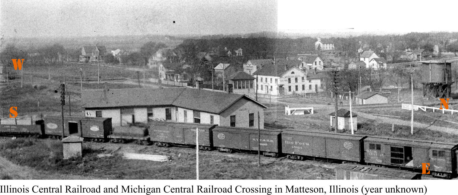
photo looking toward the northwest, probably taken from the top of the coaling tower
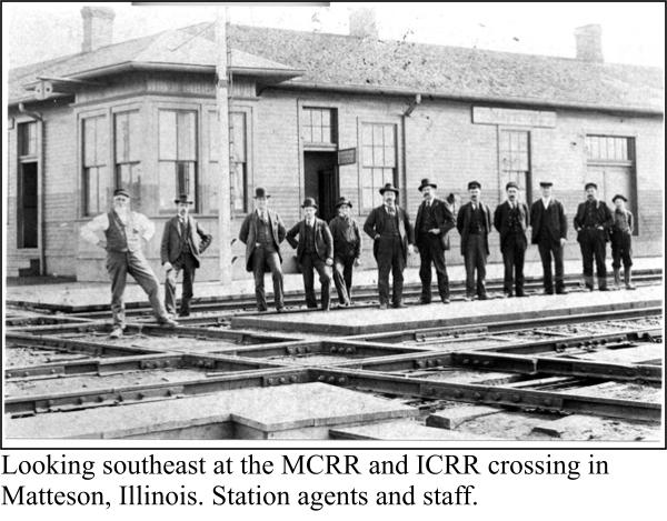
shown in the lower left photograph on this page.
The Michigan Central Rail Road (MCRR) tracks (now the OPRT) ran east-west, while
the Illinois Central Rail Road (ICRR - now the CN Rail Road) tracks ran north-south.
Some of the buildings and tracks in this old photograph have been demolished but not
the railroad hotel (red arrow). The large white building just above the right end of the
station was a railroad hotel that still can be seen in downtown (old) Matteson, Illinois.
It’s just to the north of the METRA station parking lot on Main Street.
The ICRR tracks still run north-south but they were raised 22-feet to eliminate grade
crossings. The current METRA station in Matteson is about where the L-shaped station
is in this photograph. The curved interchange track in the foreground was removed and
the land is currently the Park Forest METRA parking lot, just East of the current
METRA station.
History 6: Matteson, Illinois


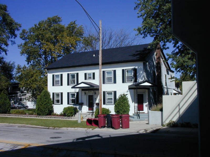
2004 picture of the railroad hotel
in the picture above (red arrow)
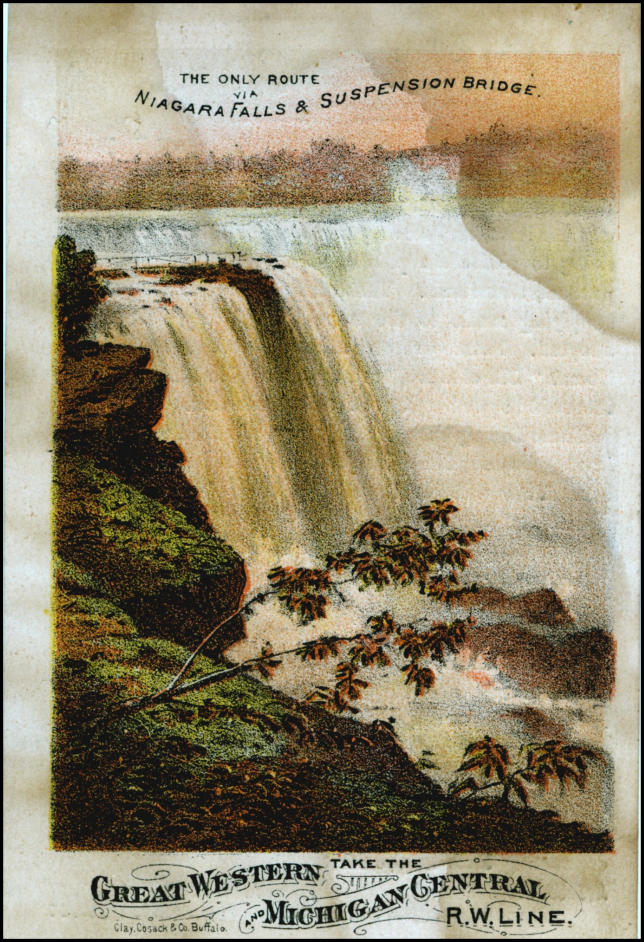
Front and back of railroad trade card (ca. 1870)


Old Plank Road Trail
A 22-mile recreation and nature trail in northeastern Illinois