2. Settler Trails
Early trails started to develop into roads as settlers moved
into Illinois in the early 1800s. At first the settlers tended to
come into Illinois from the south. They might float down the
Ohio River and then move north up the Wabash River, the
Embarrass River, or the Mississippi and Illinois Rivers.
Some came overland on the "National Road" through
Columbus, Ohio and Indianapolis, Indiana. Vandalia, Illinois
was at the end of the National Road. Vandalia was the state
capital of Illinois before Springfield.
From the Wabash River settlers could travel north along the
"Hubbard trail. " It ended in Chicago after passing through
the towns of Blue Island, Crete, Grant, Momence,
Beaverville, Iroquois, Hoopeston, Myersville, and Danville.
It was also called the "Vincennes Trace."
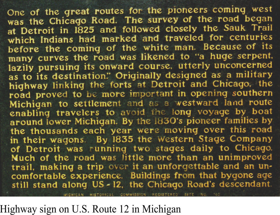
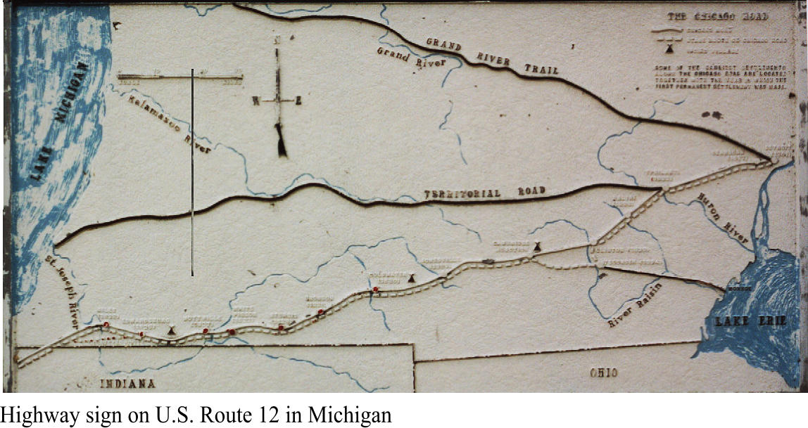
In later years, more settlers came to Illinois via northern
routes. When the Erie Canal opened in 1825 it created an all-
water route from New York City to Chicago. A popular route
for travelers was via the "Chicago Road" from Detroit to
Chicago.
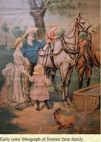
Early settlers had to be self sufficient because trade
goods were expensive. At the same time the prices
farmers received for grains and animals were low
because it was hard to get products to markets back
east.
The roads and trails that settlers used were often
impassable. Wagon loads of grain would get stuck
up to their axles, stage coaches often overturned
and swollen rivers were a problem before bridges
had been built.
Frontier settlers knew about the hardships of travel
and were supporters of government improvements.

Old Plank Road Trail
A 22-mile recreation and nature trail in northeastern Illinois